2024-01-23
- Distance: 9.5 mi
- Elevation gain: 469 ft
- Maximum elevation: 230 ft
- Elevation loss: 482 ft
- Minimum elevation: 0 ft
- Moving time: 1 h 11 m
- Moving speed: 7.9 mph
- Maximum speed: 43.3 mph
- Total time: 1 h 29 m
- Global speed: 6.3 mph
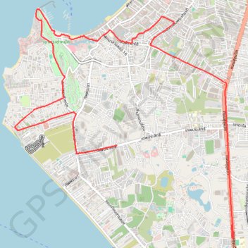
Interactive trail map
Trail profile
- Distance: 9.5 mi
- Elevation gain: 469 ft
- Maximum elevation: 230 ft
- Elevation loss: 482 ft
- Minimum elevation: 0 ft
- Moving time: 1 h 11 m
- Moving speed: 7.9 mph
- Maximum speed: 43.3 mph
- Total time: 1 h 29 m
- Global speed: 6.3 mph
About this trail
Name: 2024-01-23 trail, distance, elevation, map, profile, GPS track
Start: Thep Prasit, Pattaya City, Na Chom Thian, Chon Buri Province, 20260, Thailand (12.90597 100.87660)
Coordinates: 12.88963 100.85815 12.92995 100.89751