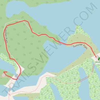
The London Wetland Center - Summer Path
- Distance: 0.2 mi
- Elevation gain: 3 ft
- Maximum elevation: 13 ft
- Elevation loss: 3 ft
- Minimum elevation: 7 ft
- Moving time: 5 m 17 s
- Moving speed: 2.1 mph
- Maximum speed: 3.1 mph
- Total time: 12 m 34 s
- Global speed: 0.9 mph
Interactive trail map
Trail profile
- Distance: 0.2 mi
- Elevation gain: 3 ft
- Maximum elevation: 13 ft
- Elevation loss: 3 ft
- Minimum elevation: 7 ft
- Moving time: 5 m 17 s
- Moving speed: 2.1 mph
- Maximum speed: 3.1 mph
- Total time: 12 m 34 s
- Global speed: 0.9 mph
About this trail
Name: The London Wetland Center - Summer Path trail, distance, elevation, map, profile, GPS track
Coordinates: 51.48020 -0.23486 51.48105 -0.23273