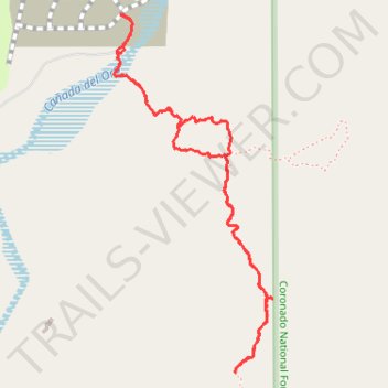
Walk near Saddlebrooke
- Distance: 2.7 mi
- Elevation gain: 584 ft
- Maximum elevation: 3,770 ft
- Elevation loss: 584 ft
- Minimum elevation: 3,271 ft
- Moving time: 1 h 50 m
- Moving speed: 1.4 mph
- Maximum speed: 2.7 mph
- Total time: 2 h 36 m
- Global speed: 1.0 mph
Interactive trail map
Trail profile
- Distance: 2.7 mi
- Elevation gain: 584 ft
- Maximum elevation: 3,770 ft
- Elevation loss: 584 ft
- Minimum elevation: 3,271 ft
- Moving time: 1 h 50 m
- Moving speed: 1.4 mph
- Maximum speed: 2.7 mph
- Total time: 2 h 36 m
- Global speed: 1.0 mph
About this trail
Name: Walk near Saddlebrooke trail, distance, elevation, map, profile, GPS track
Start: The Preserve at Saddlebrooke, Pinal County, Arizona, United States (32.54165 -110.85152)
End: The Preserve at Saddlebrooke, Pinal County, Arizona, United States (32.54164 -110.85157)
Coordinates: 32.52907 -110.85182 32.54165 -110.84521
Topography: Pinal County topographic map, elevation, terrain