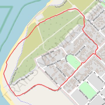
Jurien Bay loop walk
- Distance: 1.6 mi
- Elevation gain: 23 ft
- Maximum elevation: 23 ft
- Elevation loss: 23 ft
- Minimum elevation: 3 ft
- Moving time: 35 m 55 s
- Moving speed: 2.7 mph
- Maximum speed: 3.7 mph
- Total time: 36 m 29 s
- Global speed: 2.6 mph
Interactive trail map
Trail profile
- Distance: 1.6 mi
- Elevation gain: 23 ft
- Maximum elevation: 23 ft
- Elevation loss: 23 ft
- Minimum elevation: 3 ft
- Moving time: 35 m 55 s
- Moving speed: 2.7 mph
- Maximum speed: 3.7 mph
- Total time: 36 m 29 s
- Global speed: 2.6 mph
About this trail
Name: Jurien Bay loop walk trail, distance, elevation, map, profile, GPS track
Coordinates: -30.31779 115.02208 -30.31115 115.03063