Planche des belles filles
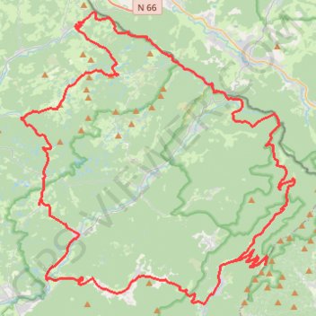
Interactive trail map
Trail profile
- Distance: 57.5 mi
- Elevation gain: 7,720 ft
- Maximum elevation: 3,766 ft
- Elevation loss: 7,717 ft
- Minimum elevation: 1,109 ft
- Moving time: 5 h 43 m
- Moving speed: 10.0 mph
- Maximum speed: 38.1 mph
- Total time: 6 h 46 m
- Global speed: 8.5 mph
About this trail
Name: Planche des belles filles trail, distance, elevation, map, profile, GPS track
Coordinates: 47.75058 6.58797 47.90321 6.80074
Other hiking, mountain biking, running and outdoor activity trails
Click on a trail to view its statistics, map and profile.
Track vom: 2020-06-13 07:00
Germany > North Rhine-Westphalia > Kreis Wesel > Schermbeck
Distance: 422.5 mi • Elevation gain: 17,392 ft • Maximum elevation: 3,022 ft
Track vom: 2020-06-27 07:26
Germany > Bavaria > Landkreis Ostallgäu > Halblech
Distance: 427.6 mi • Elevation gain: 14,131 ft • Maximum elevation: 2,989 ft
Riethoven naar Oostenrijk
Netherlands > North Brabant > Riethoven > Eind
Distance: 573.0 mi • Elevation gain: 44,715 ft • Maximum elevation: 6,224 ft