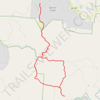
Big South Fork National River and Recreation Area
- Distance: 13.3 mi
- Elevation gain: 1,001 ft
- Maximum elevation: 1,644 ft
- Elevation loss: 1,001 ft
- Minimum elevation: 1,378 ft
Interactive trail map
Trail profile
About this trail
Name: Big South Fork National River and Recreation Area trail, distance, elevation, map, profile, GPS track
Coordinates: 36.41726 -84.80512 36.48189 -84.77809
Topography: Fentress County topographic map, elevation, terrain