Bushwhacking above Frenchtown
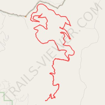
- Distance: 30.7 mi
- Elevation gain: 5,262 ft
- Maximum elevation: 6,112 ft
- Elevation loss: 5,259 ft
- Minimum elevation: 3,747 ft
- Moving time: 3 h 55 m
- Moving speed: 7.8 mph
- Maximum speed: 30.6 mph
- Total time: 4 h 12 m
- Global speed: 7.3 mph
Interactive trail map
Trail profile
- Distance: 30.7 mi
- Elevation gain: 5,262 ft
- Maximum elevation: 6,112 ft
- Elevation loss: 5,259 ft
- Minimum elevation: 3,747 ft
- Moving time: 3 h 55 m
- Moving speed: 7.8 mph
- Maximum speed: 30.6 mph
- Total time: 4 h 12 m
- Global speed: 7.3 mph
About this trail
Name: Bushwhacking above Frenchtown trail, distance, elevation, map, profile, GPS track
Start: Edith Peak Trail, Missoula County, Montana, 59834, United States (47.04444 -114.22761)
End: Edith Peak Trail, Missoula County, Montana, 59834, United States (47.04451 -114.22760)
Coordinates: 47.04440 -114.24745 47.13175 -114.18966
Topography: Missoula County topographic map, elevation, terrain
Other hiking, mountain biking, running and outdoor activity trails
Click on a trail to view its statistics, map and profile.
Valley Creek Paths
United States > Montana > Sanders County
Morning Gravel Ride
Distance: 25.5 mi • Elevation gain: 4,419 ft • Maximum elevation: 6,053 ft