National Herb Garden
- Distance: 1.7 mi
- Elevation gain: 49 ft
- Maximum elevation: 82 ft
- Elevation loss: 52 ft
- Minimum elevation: 52 ft
Interactive trail map
Trail profile
- Distance: 1.7 mi
- Elevation gain: 49 ft
- Maximum elevation: 82 ft
- Elevation loss: 52 ft
- Minimum elevation: 52 ft
About this trail
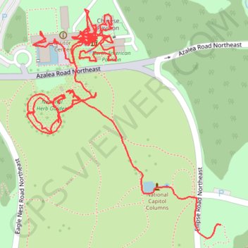
Name: National Herb Garden trail, distance, elevation, map, profile, GPS track
Coordinates: 38.90943 -76.97025 38.91292 -76.96646
Topography: Washington topographic map, elevation, terrain