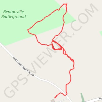
Bentonville Battleground
- Distance: 1.2 mi
- Elevation gain: 33 ft
- Maximum elevation: 213 ft
- Elevation loss: 39 ft
- Minimum elevation: 190 ft
- Moving time: 27 m 41 s
- Moving speed: 2.6 mph
- Maximum speed: 8.8 mph
- Total time: 31 m 52 s
- Global speed: 2.3 mph
Interactive trail map
Trail profile
- Distance: 1.2 mi
- Elevation gain: 33 ft
- Maximum elevation: 213 ft
- Elevation loss: 39 ft
- Minimum elevation: 190 ft
- Moving time: 27 m 41 s
- Moving speed: 2.6 mph
- Maximum speed: 8.8 mph
- Total time: 31 m 52 s
- Global speed: 2.3 mph
About this trail
Name: Bentonville Battleground trail, distance, elevation, map, profile, GPS track
Coordinates: 35.30242 -78.32431 35.30833 -78.32077
Topography: Johnston County topographic map, elevation, terrain