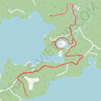
Mushroom Trail
- Distance: 5.4 mi
- Elevation gain: 384 ft
- Maximum elevation: 1,171 ft
- Elevation loss: 390 ft
- Minimum elevation: 1,060 ft
- Moving time: 45 m 48 s
- Moving speed: 7.0 mph
- Maximum speed: 9.4 mph
- Total time: 45 m 48 s
- Global speed: 7.0 mph
Interactive trail map
Trail profile
- Distance: 5.4 mi
- Elevation gain: 384 ft
- Maximum elevation: 1,171 ft
- Elevation loss: 390 ft
- Minimum elevation: 1,060 ft
- Moving time: 45 m 48 s
- Moving speed: 7.0 mph
- Maximum speed: 9.4 mph
- Total time: 45 m 48 s
- Global speed: 7.0 mph
About this trail
Name: Mushroom Trail trail, distance, elevation, map, profile, GPS track
Coordinates: 49.70052 -94.79134 49.71422 -94.77631
Other hiking, mountain biking, running and outdoor activity trails
Click on a trail to view its statistics, map and profile.
Whiteshell - Kenora
Canada > Unorganized Division No. 1
#Bike #Whiteshell #Kenora
Distance: 43.0 mi • Elevation gain: 1,893 ft • Maximum elevation: 1,253 ft