Sentier de la Sagouine à la Marina
- Distance: 0.4 mi
- Elevation gain: 62 ft
- Maximum elevation: 69 ft
- Elevation loss: 16 ft
- Minimum elevation: 7 ft
- Moving time: 8 m 17 s
- Moving speed: 2.8 mph
- Maximum speed: 7.7 mph
- Total time: 8 m 48 s
- Global speed: 2.6 mph
Interactive trail map
Trail profile
- Distance: 0.4 mi
- Elevation gain: 62 ft
- Maximum elevation: 69 ft
- Elevation loss: 16 ft
- Minimum elevation: 7 ft
- Moving time: 8 m 17 s
- Moving speed: 2.8 mph
- Maximum speed: 7.7 mph
- Total time: 8 m 48 s
- Global speed: 2.6 mph
About this trail
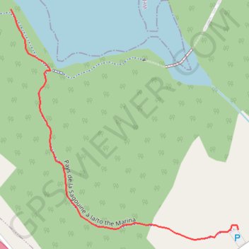
Name: Sentier de la Sagouine à la Marina trail, distance, elevation, map, profile, GPS track
Coordinates: 46.45551 -64.71825 46.45854 -64.71392
Other hiking, mountain biking, running and outdoor activity trails
Click on a trail to view its statistics, map and profile.
Black River Bridge - Shédiac
Canada > New Brunswick > Glenelg Parish
Gulf of Saint Lawrence. #Bike #SaintLawrence #Atlantic
Distance: 71.4 mi • Elevation gain: 1,480 ft • Maximum elevation: 121 ft