New
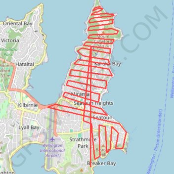
- Distance: 26.6 mi
- Elevation gain: 9,728 ft
- Maximum elevation: 512 ft
- Elevation loss: 9,747 ft
- Minimum elevation: 3 ft
Interactive trail map
Trail profile
- Distance: 26.6 mi
- Elevation gain: 9,728 ft
- Maximum elevation: 512 ft
- Elevation loss: 9,747 ft
- Minimum elevation: 3 ft
About this trail
Name: New trail, distance, elevation, map, profile, GPS track
Coordinates: -41.33558 174.80613 -41.28674 174.83788