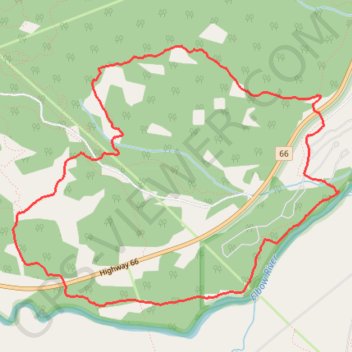
Trail Planner Map
- Distance: 5.1 mi
- Elevation gain: 850 ft
- Maximum elevation: 5,318 ft
- Elevation loss: 850 ft
- Minimum elevation: 4,672 ft
Interactive trail map
Trail profile
- Distance: 5.1 mi
- Elevation gain: 850 ft
- Maximum elevation: 5,318 ft
- Elevation loss: 850 ft
- Minimum elevation: 4,672 ft
About this trail
Name: Trail Planner Map trail, distance, elevation, map, profile, GPS track
Start: Highway 66, Kananaskis Improvement District, Alberta, Canada (50.87872 -114.71650)
End: Highway 66, Kananaskis Improvement District, Alberta, Canada (50.87872 -114.71650)
Coordinates: 50.86581 -114.74797 50.88296 -114.71388
Other hiking, mountain biking, running and outdoor activity trails
Click on a trail to view its statistics, map and profile.