Museum Trail
Interactive trail map
Trail profile
About this trail
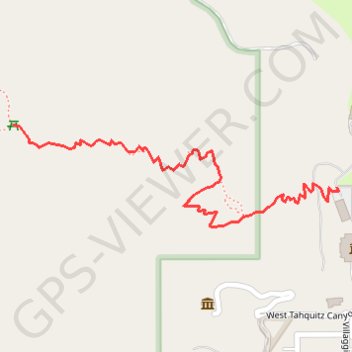
Name: Museum Trail trail, distance, elevation, map, profile, GPS track
Coordinates: 33.82457 -116.55744 33.82641 -116.55037
Topography: Palm Springs topographic map, elevation, terrain
Other hiking, mountain biking, running and outdoor activity trails
Click on a trail to view its statistics, map and profile.
Cactus to Clouds
United States > California > Riverside County > Palm Springs
Hike from Palm Springs to San Jacinto Peak by the Skyline Trail, the Grubbs Notch, the Round Valley Trail, the Wellman Divide and the Peak Trail in the Santa Rosa and San Jacinto Mountains National Monument. #Hiking #Mountain #Nature #Forest #Park
Distance: 19.6 mi • Elevation gain: 10,820 ft • Maximum elevation: 10,761 ft