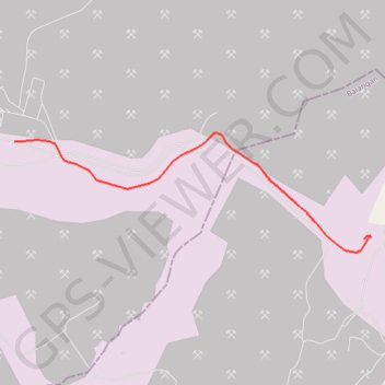
CYCLE 1 003
- Distance: 3.5 mi
- Elevation gain: 308 ft
- Maximum elevation: 377 ft
- Elevation loss: 384 ft
- Minimum elevation: 144 ft
- Moving time: 16 m 23 s
- Moving speed: 12.8 mph
- Maximum speed: 25.5 mph
- Total time: 19 m 12 s
- Global speed: 10.9 mph
Interactive trail map
Trail profile
- Distance: 3.5 mi
- Elevation gain: 308 ft
- Maximum elevation: 377 ft
- Elevation loss: 384 ft
- Minimum elevation: 144 ft
- Moving time: 16 m 23 s
- Moving speed: 12.8 mph
- Maximum speed: 25.5 mph
- Total time: 19 m 12 s
- Global speed: 10.9 mph
About this trail
Name: CYCLE 1 003 trail, distance, elevation, map, profile, GPS track
Coordinates: -2.17342 115.54329 -2.16033 115.58237
Other hiking, mountain biking, running and outdoor activity trails
Click on a trail to view its statistics, map and profile.
CYCLE 1 003
Indonesia > South Kalimantan > Balangan
Distance: 3.5 mi • Elevation gain: 308 ft • Maximum elevation: 377 ft