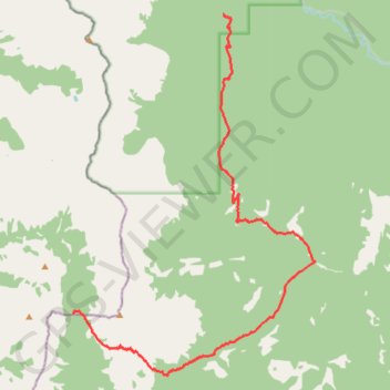
Great Divide Trail Dutch Creek Tornado Pass to Cache Creek
- Distance: 12.8 mi
- Elevation gain: 2,943 ft
- Maximum elevation: 8,120 ft
- Elevation loss: 4,216 ft
- Minimum elevation: 5,715 ft
- Moving time: 6 h 48 m
- Moving speed: 1.9 mph
- Maximum speed: 2.3 mph
- Total time: 6 h 48 m
- Global speed: 1.9 mph
Interactive trail map
Trail profile
- Distance: 12.8 mi
- Elevation gain: 2,943 ft
- Maximum elevation: 8,120 ft
- Elevation loss: 4,216 ft
- Minimum elevation: 5,715 ft
- Moving time: 6 h 48 m
- Moving speed: 1.9 mph
- Maximum speed: 2.3 mph
- Total time: 6 h 48 m
- Global speed: 1.9 mph
About this trail
Name: Great Divide Trail Dutch Creek Tornado Pass to Cache Creek trail, distance, elevation, map, profile, GPS track
End: Great Divide Trail, Municipal District of Ranchland No. 66, Alberta, Canada (50.04212 -114.61421)
Coordinates: 49.95170 -114.67261 50.04212 -114.57818