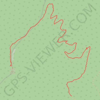
Church Rock
Church Rock, Hiking Trail
- Distance: 2.4 mi
- Elevation gain: 1,106 ft
- Maximum elevation: 3,035 ft
- Elevation loss: 190 ft
- Minimum elevation: 1,991 ft
- Moving time: 1 h 18 m
- Moving speed: 1.8 mph
- Maximum speed: 2.9 mph
- Total time: 1 h 18 m
- Global speed: 1.8 mph
Interactive trail map
Trail profile
- Distance: 2.4 mi
- Elevation gain: 1,106 ft
- Maximum elevation: 3,035 ft
- Elevation loss: 190 ft
- Minimum elevation: 1,991 ft
- Moving time: 1 h 18 m
- Moving speed: 1.8 mph
- Maximum speed: 2.9 mph
- Total time: 1 h 18 m
- Global speed: 1.8 mph
About this trail
Name: Church Rock trail, distance, elevation, map, profile, GPS track
Start: Church Rock Trail, Rockingham County, Virginia, United States (38.73609 -78.87740)
End: Church Rock Trail, Rockingham County, Virginia, United States (38.73951 -78.88597)
Coordinates: 38.73609 -78.88622 38.74642 -78.87477
Topography: Rockingham County topographic map, elevation, terrain