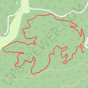
Rocky Road Trail - Twin Falls Resort State Park
- Distance: 4.1 mi
- Elevation gain: 604 ft
- Maximum elevation: 2,277 ft
- Elevation loss: 610 ft
- Minimum elevation: 2,044 ft
- Moving time: 12 m 21 s
- Moving speed: 19.8 mph
- Maximum speed: 27.6 mph
- Total time: 12 m 21 s
- Global speed: 19.8 mph
Interactive trail map
Trail profile
- Distance: 4.1 mi
- Elevation gain: 604 ft
- Maximum elevation: 2,277 ft
- Elevation loss: 610 ft
- Minimum elevation: 2,044 ft
- Moving time: 12 m 21 s
- Moving speed: 19.8 mph
- Maximum speed: 27.6 mph
- Total time: 12 m 21 s
- Global speed: 19.8 mph
About this trail
Name: Rocky Road Trail - Twin Falls Resort State Park trail, distance, elevation, map, profile, GPS track
Start: Moonshiners Trail, Wyoming County, West Virginia, 25876, United States (37.62329 -81.43057)
End: Moonshiners Trail, Wyoming County, West Virginia, 25876, United States (37.62280 -81.43045)
Coordinates: 37.61952 -81.44514 37.62809 -81.43045
Topography: Wyoming County topographic map, elevation, terrain