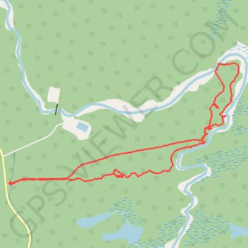
Whiteshell Provincial Park - Pine Point Trail
- Distance: 5.5 mi
- Elevation gain: 423 ft
- Maximum elevation: 1,050 ft
- Elevation loss: 423 ft
- Minimum elevation: 938 ft
Interactive trail map
Trail profile
- Distance: 5.5 mi
- Elevation gain: 423 ft
- Maximum elevation: 1,050 ft
- Elevation loss: 423 ft
- Minimum elevation: 938 ft
About this trail
Name: Whiteshell Provincial Park - Pine Point Trail trail, distance, elevation, map, profile, GPS track
Start: Pine Point Trail, Unorganized Division No. 1, Manitoba, Canada (50.10422 -95.60664)
End: Pine Point Trail, Unorganized Division No. 1, Manitoba, Canada (50.10446 -95.60653)
Coordinates: 50.10398 -95.60670 50.11702 -95.56840