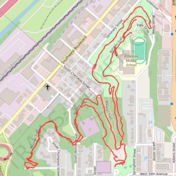
Rozarks Trail in Mount Marty Park
- Distance: 3.3 mi
- Elevation gain: 459 ft
- Maximum elevation: 935 ft
- Elevation loss: 427 ft
- Minimum elevation: 823 ft
- Moving time: 1 h 17 m
- Moving speed: 2.6 mph
- Maximum speed: 4.8 mph
- Total time: 1 h 19 m
- Global speed: 2.5 mph
Interactive trail map
Trail profile
- Distance: 3.3 mi
- Elevation gain: 459 ft
- Maximum elevation: 935 ft
- Elevation loss: 427 ft
- Minimum elevation: 823 ft
- Moving time: 1 h 17 m
- Moving speed: 2.6 mph
- Maximum speed: 4.8 mph
- Total time: 1 h 19 m
- Global speed: 2.5 mph
About this trail
Name: Rozarks Trail in Mount Marty Park trail, distance, elevation, map, profile, GPS track
Coordinates: 39.05753 -94.62181 39.06501 -94.61433
Topography: Kansas City topographic map, elevation, terrain