Bottelary Hills Loop
- Distance: 21.5 mi
- Elevation gain: 2,526 ft
- Maximum elevation: 1,348 ft
- Elevation loss: 2,530 ft
- Minimum elevation: 446 ft
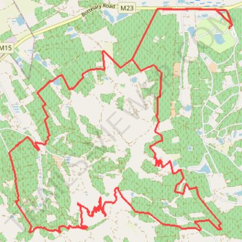
Interactive trail map
Trail profile
- Distance: 21.5 mi
- Elevation gain: 2,526 ft
- Maximum elevation: 1,348 ft
- Elevation loss: 2,530 ft
- Minimum elevation: 446 ft
About this trail
Name: Bottelary Hills Loop trail, distance, elevation, map, profile, GPS track
Coordinates: -33.92736 18.74625 -33.87813 18.80536