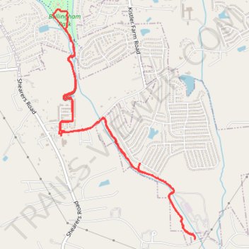
Dye Creek Greenway and Bellingham Park
- Distance: 5.9 mi
- Elevation gain: 335 ft
- Maximum elevation: 830 ft
- Elevation loss: 331 ft
- Minimum elevation: 705 ft
- Moving time: 1 h 2 m
- Moving speed: 5.6 mph
- Maximum speed: 9.5 mph
- Total time: 1 h 2 m
- Global speed: 5.6 mph
Interactive trail map
Trail profile
- Distance: 5.9 mi
- Elevation gain: 335 ft
- Maximum elevation: 830 ft
- Elevation loss: 331 ft
- Minimum elevation: 705 ft
- Moving time: 1 h 2 m
- Moving speed: 5.6 mph
- Maximum speed: 9.5 mph
- Total time: 1 h 2 m
- Global speed: 5.6 mph
About this trail
Name: Dye Creek Greenway and Bellingham Park trail, distance, elevation, map, profile, GPS track
Coordinates: 35.52432 -80.80076 35.54942 -80.78168
Topography: Iredell County topographic map, elevation, terrain