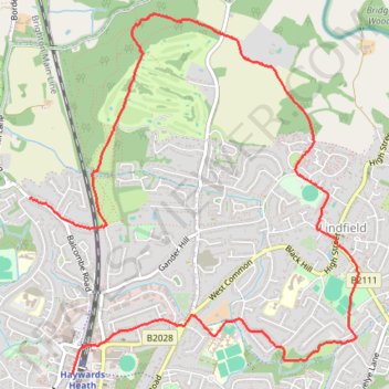
Haywards Heath, Lindfield and Haywards Heath Golf Club Loop Walk
- Distance: 4.9 mi
- Elevation gain: 361 ft
- Maximum elevation: 266 ft
- Elevation loss: 295 ft
- Minimum elevation: 108 ft
- Moving time: 1 h 32 m
- Moving speed: 3.2 mph
- Maximum speed: 5.7 mph
- Total time: 1 h 35 m
- Global speed: 3.1 mph
Interactive trail map
Trail profile
- Distance: 4.9 mi
- Elevation gain: 361 ft
- Maximum elevation: 266 ft
- Elevation loss: 295 ft
- Minimum elevation: 108 ft
- Moving time: 1 h 32 m
- Moving speed: 3.2 mph
- Maximum speed: 5.7 mph
- Total time: 1 h 35 m
- Global speed: 3.1 mph
About this trail
Name: Haywards Heath, Lindfield and Haywards Heath Golf Club Loop Walk trail, distance, elevation, map, profile, GPS track
Coordinates: 51.00419 -0.11038 51.02562 -0.07925