Sugar Pony MTB trail
- Distance: 0.6 mi
- Elevation gain: 128 ft
- Maximum elevation: 5,443 ft
- Elevation loss: 59 ft
- Minimum elevation: 5,335 ft
- Moving time: 9 m 50 s
- Moving speed: 3.4 mph
- Maximum speed: 7.9 mph
- Total time: 14 m 49 s
- Global speed: 2.2 mph
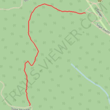
Interactive trail map
Trail profile
- Distance: 0.6 mi
- Elevation gain: 128 ft
- Maximum elevation: 5,443 ft
- Elevation loss: 59 ft
- Minimum elevation: 5,335 ft
- Moving time: 9 m 50 s
- Moving speed: 3.4 mph
- Maximum speed: 7.9 mph
- Total time: 14 m 49 s
- Global speed: 2.2 mph
About this trail
Name: Sugar Pony MTB trail trail, distance, elevation, map, profile, GPS track
Start: Sugar Daddy, Kananaskis Improvement District, Alberta, Canada (50.92528 -114.69437)
End: Sugar Momma, Kananaskis Improvement District, Alberta, Canada (50.92100 -114.69847)
Coordinates: 50.92100 -114.69886 50.92569 -114.69437
Other hiking, mountain biking, running and outdoor activity trails
Click on a trail to view its statistics, map and profile.
Elbow, Sugar Daddy, Strange Brew, Bobcat and Fullerton Loop
Canada > Alberta > Kananaskis Improvement District
Kananaskis Country Public Land Use Zone. Elbow River. #Hiking #Running #Loop #Kananaskis
Distance: 7.5 mi • Elevation gain: 1,234 ft • Maximum elevation: 5,623 ft