Auckland Domain
Interactive trail map
Trail profile
- Distance: 2.8 mi
- Elevation gain: 476 ft
- Maximum elevation: 243 ft
- Elevation loss: 476 ft
- Minimum elevation: 59 ft
About this trail
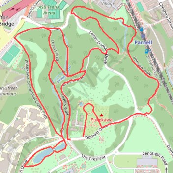
Name: Auckland Domain trail, distance, elevation, map, profile, GPS track
Coordinates: -36.86002 174.77155 -36.85398 174.77837
Other hiking, mountain biking, running and outdoor activity trails
Click on a trail to view its statistics, map and profile.