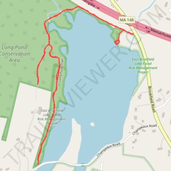
Walked Long Pond Trail in Sturbridge
Long Pond Trail, Sturbridge, Massachusetts
- Distance: 2.0 mi
- Elevation gain: 164 ft
- Maximum elevation: 715 ft
- Elevation loss: 141 ft
- Minimum elevation: 640 ft
- Moving time: 46 m 4 s
- Moving speed: 2.6 mph
- Maximum speed: 4.2 mph
- Total time: 48 m 36 s
- Global speed: 2.4 mph
Interactive trail map
Trail profile
- Distance: 2.0 mi
- Elevation gain: 164 ft
- Maximum elevation: 715 ft
- Elevation loss: 141 ft
- Minimum elevation: 640 ft
- Moving time: 46 m 4 s
- Moving speed: 2.6 mph
- Maximum speed: 4.2 mph
- Total time: 48 m 36 s
- Global speed: 2.4 mph
About this trail
Name: Walked Long Pond Trail in Sturbridge trail, distance, elevation, map, profile, GPS track
Coordinates: 42.12879 -72.13082 42.13580 -72.12507
Topography: Worcester County topographic map, elevation, terrain