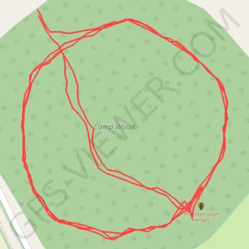
Footpath round the hinge
- Distance: 1.1 mi
- Elevation gain: 66 ft
- Maximum elevation: 184 ft
- Elevation loss: 66 ft
- Minimum elevation: 154 ft
- Moving time: 22 m 29 s
- Moving speed: 3.0 mph
- Maximum speed: 8.8 mph
- Total time: 22 m 59 s
- Global speed: 2.9 mph
Interactive trail map
Trail profile
- Distance: 1.1 mi
- Elevation gain: 66 ft
- Maximum elevation: 184 ft
- Elevation loss: 66 ft
- Minimum elevation: 154 ft
- Moving time: 22 m 29 s
- Moving speed: 3.0 mph
- Maximum speed: 8.8 mph
- Total time: 22 m 59 s
- Global speed: 2.9 mph
About this trail
Name: Footpath round the hinge trail, distance, elevation, map, profile, GPS track
Coordinates: 54.21468 -1.57226 54.21610 -1.57009