Profitis Ilias de Santorin
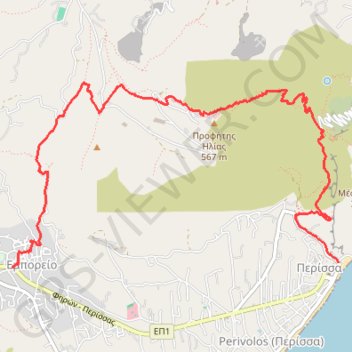
- Distance: 4.8 mi
- Elevation gain: 1,749 ft
- Maximum elevation: 1,804 ft
- Elevation loss: 1,995 ft
- Minimum elevation: -3 ft
Interactive trail map
Trail profile
- Distance: 4.8 mi
- Elevation gain: 1,749 ft
- Maximum elevation: 1,804 ft
- Elevation loss: 1,995 ft
- Minimum elevation: -3 ft
About this trail
Name: Profitis Ilias de Santorin trail, distance, elevation, map, profile, GPS track
Coordinates: 36.35681 25.44433 36.37114 25.47574