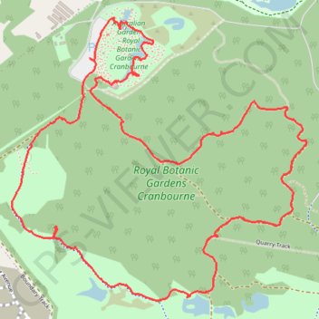
Royal Botanic Gardens Cranbourne Loop
Interactive trail map
Trail profile
- Distance: 4.3 mi
- Elevation gain: 187 ft
- Maximum elevation: 292 ft
- Elevation loss: 187 ft
- Minimum elevation: 194 ft
- Moving time: 1 h 41 m
- Moving speed: 2.6 mph
- Maximum speed: 4.3 mph
- Total time: 2 h 7 m
- Global speed: 2.0 mph
About this trail
Name: Royal Botanic Gardens Cranbourne Loop trail, distance, elevation, map, profile, GPS track
Coordinates: -38.14051 145.26339 -38.12736 145.28080
Other hiking, mountain biking, running and outdoor activity trails
Click on a trail to view its statistics, map and profile.