
St. Clair County, Alabama, United States trails
Click on a trail to view its statistics, map and profile.
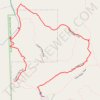
Big Canoe Creek Nature Preserve
United States > Alabama > St. Clair County > Springville
Distance: 1.7 mi • Elevation gain: 220 ft • Maximum elevation: 883 ft
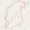
Big Canoe Creek Nature Preserve Loop Walk
United States > Alabama > St. Clair County > Springville
Distance: 2.7 mi • Elevation gain: 256 ft • Maximum elevation: 883 ft
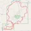
Big Canoe Creek Nature Preserve Loop Trail
United States > Alabama > St. Clair County > Springville
Distance: 4.6 mi • Elevation gain: 682 ft • Maximum elevation: 994 ft