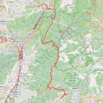
Cloudy Hill
- Distance: 5.6 mi
- Elevation gain: 1,539 ft
- Maximum elevation: 1,368 ft
- Elevation loss: 1,565 ft
- Minimum elevation: 59 ft
- Moving time: 2 h 17 m
- Moving speed: 2.4 mph
- Maximum speed: 4.5 mph
- Total time: 2 h 37 m
- Global speed: 2.1 mph
Interactive trail map
Trail profile
- Distance: 5.6 mi
- Elevation gain: 1,539 ft
- Maximum elevation: 1,368 ft
- Elevation loss: 1,565 ft
- Minimum elevation: 59 ft
- Moving time: 2 h 17 m
- Moving speed: 2.4 mph
- Maximum speed: 4.5 mph
- Total time: 2 h 37 m
- Global speed: 2.1 mph
About this trail
Name: Cloudy Hill trail, distance, elevation, map, profile, GPS track
Coordinates: 22.46121 114.16189 22.50326 114.17611
Other hiking, mountain biking, running and outdoor activity trails
Click on a trail to view its statistics, map and profile.
Wilson Trail Full Route
China > Hong Kong > Hong Kong Island
Distance: 50.5 mi • Elevation gain: 14,534 ft • Maximum elevation: 2,011 ft
徑口坑 營盤 泰亨坑
China > Hong Kong > Yuen Long District > Sheung Che
Hong Kong Hike
Distance: 10.4 mi • Elevation gain: 3,445 ft • Maximum elevation: 1,598 ft