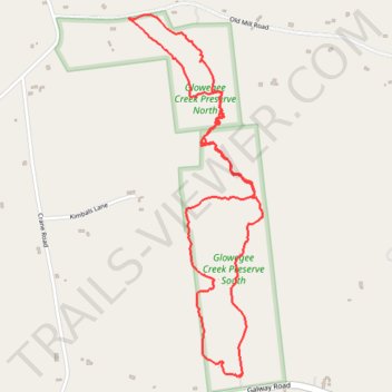
Glowegee Creek Preserve Loop Trails
- Distance: 3.2 mi
- Elevation gain: 256 ft
- Maximum elevation: 761 ft
- Elevation loss: 256 ft
- Minimum elevation: 636 ft
- Moving time: 58 m 6 s
- Moving speed: 3.3 mph
- Maximum speed: 25.1 mph
- Total time: 59 m 18 s
- Global speed: 3.2 mph
Interactive trail map
Trail profile
- Distance: 3.2 mi
- Elevation gain: 256 ft
- Maximum elevation: 761 ft
- Elevation loss: 256 ft
- Minimum elevation: 636 ft
- Moving time: 58 m 6 s
- Moving speed: 3.3 mph
- Maximum speed: 25.1 mph
- Total time: 59 m 18 s
- Global speed: 3.2 mph
About this trail
Name: Glowegee Creek Preserve Loop Trails trail, distance, elevation, map, profile, GPS track
Coordinates: 43.02163 -74.00593 43.03587 -73.99873
Topography: Saratoga County topographic map, elevation, terrain
Other hiking, mountain biking, running and outdoor activity trails
Click on a trail to view its statistics, map and profile.