
Eastern Escarpment, Venman Bushland, Daisy Hill, Koala Bushland and Neville Lawrie Loop
- Distance: 17.5 mi
- Elevation gain: 1,936 ft
- Maximum elevation: 712 ft
- Elevation loss: 1,936 ft
- Minimum elevation: 138 ft
- Moving time: 3 h 55 m
- Moving speed: 4.5 mph
- Maximum speed: 10.4 mph
- Total time: 4 h 11 m
- Global speed: 4.2 mph
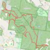
Interactive trail map
Trail profile
- Distance: 17.5 mi
- Elevation gain: 1,936 ft
- Maximum elevation: 712 ft
- Elevation loss: 1,936 ft
- Minimum elevation: 138 ft
- Moving time: 3 h 55 m
- Moving speed: 4.5 mph
- Maximum speed: 10.4 mph
- Total time: 4 h 11 m
- Global speed: 4.2 mph
About this trail
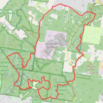
Name: Eastern Escarpment, Venman Bushland, Daisy Hill, Koala Bushland and Neville Lawrie Loop trail, distance, elevation, map, profile, GPS track
Start: Schoeck Break, Brisbane, Redland City, Queensland, 4165, Australia (-27.59177 153.21878)
End: Schoeck Break, Brisbane, Redland City, Queensland, 4165, Australia (-27.59182 153.21889)
Coordinates: -27.64001 153.16576 -27.58693 153.22160
Other hiking, mountain biking, running and outdoor activity trails
Click on a trail to view its statistics, map and profile.
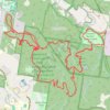
Eastern Escarpment Conservation Area, Venman Bushland National Park, Daisy Hill Conservation Park, Koala Bushland Conservation Area and Neville Lawrie Reserve loop
Australia > Queensland > Brisbane
Distance: 16.3 mi • Elevation gain: 1,965 ft • Maximum elevation: 715 ft
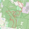
Brisbane Koala Bushlands Loop Run
Distance: 13.2 mi • Elevation gain: 1,017 ft • Maximum elevation: 285 ft
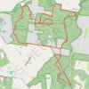
Venman and Daisy parks
Distance: 11.9 mi • Elevation gain: 1,234 ft • Maximum elevation: 456 ft
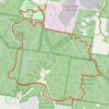
Venman and Daisy Loop
Distance: 11.3 mi • Elevation gain: 820 ft • Maximum elevation: 456 ft
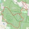
Daisy Hill Loop
Distance: 10.4 mi • Elevation gain: 951 ft • Maximum elevation: 390 ft