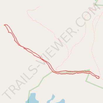
Short walk on start of Holden Trail at Plimpton Forest in Sturbridge
- Distance: 0.8 mi
- Elevation gain: 98 ft
- Maximum elevation: 702 ft
- Elevation loss: 98 ft
- Minimum elevation: 627 ft
- Moving time: 23 m 21 s
- Moving speed: 1.9 mph
- Maximum speed: 4.0 mph
- Total time: 25 m 4 s
- Global speed: 1.8 mph
Interactive trail map
Trail profile
- Distance: 0.8 mi
- Elevation gain: 98 ft
- Maximum elevation: 702 ft
- Elevation loss: 98 ft
- Minimum elevation: 627 ft
- Moving time: 23 m 21 s
- Moving speed: 1.9 mph
- Maximum speed: 4.0 mph
- Total time: 25 m 4 s
- Global speed: 1.8 mph
About this trail
Name: Short walk on start of Holden Trail at Plimpton Forest in Sturbridge trail, distance, elevation, map, profile, GPS track
Coordinates: 42.14812 -72.08472 42.15051 -72.07903
Topography: Worcester County topographic map, elevation, terrain
Other hiking, mountain biking, running and outdoor activity trails
Click on a trail to view its statistics, map and profile.
Loop walk at Plimpton Forest in Sturbridge
United States > Massachusetts > Worcester County > Sturbridge
Distance: 3.3 mi • Elevation gain: 194 ft • Maximum elevation: 797 ft