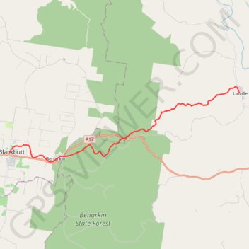
Blackbutt - Linville
Interactive trail map
Trail profile
- Distance: 14.1 mi
- Elevation gain: 492 ft
- Maximum elevation: 1,516 ft
- Elevation loss: 1,467 ft
- Minimum elevation: 443 ft
About this trail
Name: Blackbutt - Linville trail, distance, elevation, map, profile, GPS track
End: Brisbane Valley Rail Trail, Linville, Somerset Regional, Queensland, Australia (-26.84354 152.27559)
Coordinates: -26.88995 152.10136 -26.83945 152.27559
Other hiking, mountain biking, running and outdoor activity trails
Click on a trail to view its statistics, map and profile.