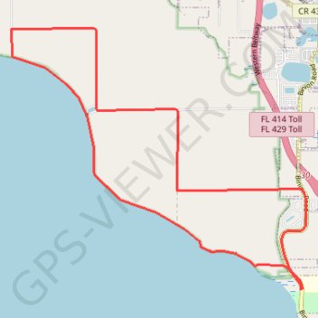
Lake Apopka
Interactive trail map
Trail profile
- Distance: 12.6 mi
- Elevation gain: 135 ft
- Maximum elevation: 131 ft
- Elevation loss: 138 ft
- Minimum elevation: 59 ft
About this trail
Name: Lake Apopka trail, distance, elevation, map, profile, GPS track
Start: Lake Apopka Loop Trail, Orange County, Florida, 32704, United States (28.63676 -81.55016)
Coordinates: 28.63676 -81.60917 28.68351 -81.54909
Topography: Orange County topographic map, elevation, terrain
Other hiking, mountain biking, running and outdoor activity trails
Click on a trail to view its statistics, map and profile.