McCrae Lake
Interactive trail map
Trail profile
- Distance: 4.6 mi
- Elevation gain: 240 ft
- Maximum elevation: 669 ft
- Elevation loss: 262 ft
- Minimum elevation: 594 ft
About this trail
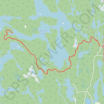
Name: McCrae Lake trail, distance, elevation, map, profile, GPS track
Coordinates: 44.91150 -79.82670 44.92750 -79.77735
Other hiking, mountain biking, running and outdoor activity trails
Click on a trail to view its statistics, map and profile.