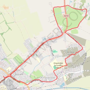
Kingsbook loop run
Afternoon Run
- Distance: 6.1 mi
- Elevation gain: 118 ft
- Maximum elevation: 308 ft
- Elevation loss: 118 ft
- Minimum elevation: 262 ft
- Moving time: 53 m 27 s
- Moving speed: 6.9 mph
- Maximum speed: 11.2 mph
- Total time: 53 m 27 s
- Global speed: 6.9 mph
Interactive trail map
Trail profile
- Distance: 6.1 mi
- Elevation gain: 118 ft
- Maximum elevation: 308 ft
- Elevation loss: 118 ft
- Minimum elevation: 262 ft
- Moving time: 53 m 27 s
- Moving speed: 6.9 mph
- Maximum speed: 11.2 mph
- Total time: 53 m 27 s
- Global speed: 6.9 mph
About this trail
Name: Kingsbook loop run trail, distance, elevation, map, profile, GPS track
Coordinates: 51.82139 -0.80165 51.84372 -0.76378
Other hiking, mountain biking, running and outdoor activity trails
Click on a trail to view its statistics, map and profile.
The Jo Cox Way 2022 Day 4 - Milton Keynes to Uxbridge
United Kingdom > England > City of Milton Keynes > Milton Keynes > Monkston
Distance: 64.9 mi • Elevation gain: 3,406 ft • Maximum elevation: 823 ft