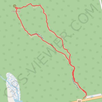
Algonquin Park Lookout trail
- Distance: 1.2 mi
- Elevation gain: 256 ft
- Maximum elevation: 1,703 ft
- Elevation loss: 256 ft
- Minimum elevation: 1,493 ft
- Moving time: 37 m 17 s
- Moving speed: 2.0 mph
- Maximum speed: 10.0 mph
- Total time: 48 m 40 s
- Global speed: 1.5 mph
Interactive trail map
Trail profile
- Distance: 1.2 mi
- Elevation gain: 256 ft
- Maximum elevation: 1,703 ft
- Elevation loss: 256 ft
- Minimum elevation: 1,493 ft
- Moving time: 37 m 17 s
- Moving speed: 2.0 mph
- Maximum speed: 10.0 mph
- Total time: 48 m 40 s
- Global speed: 1.5 mph
About this trail
Name: Algonquin Park Lookout trail trail, distance, elevation, map, profile, GPS track
Coordinates: 45.57898 -78.41354 45.58519 -78.40683
Other hiking, mountain biking, running and outdoor activity trails
Click on a trail to view its statistics, map and profile.