Santiago Peak
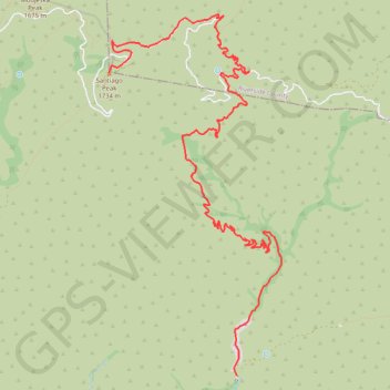
Interactive trail map
Trail profile
- Distance: 7.9 mi
- Elevation gain: 4,580 ft
- Maximum elevation: 5,666 ft
- Elevation loss: 669 ft
- Minimum elevation: 1,745 ft
About this trail
Name: Santiago Peak trail, distance, elevation, map, profile, GPS track
End: North Main Divide Road, Orange County, California, United States (33.71057 -117.53420)
Coordinates: 33.67710 -117.53420 33.71700 -117.51132
Topography: Orange County topographic map, elevation, terrain
Other hiking, mountain biking, running and outdoor activity trails
Click on a trail to view its statistics, map and profile.