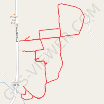
Most of the trails at Potato Hill farms
- Distance: 4.3 mi
- Elevation gain: 331 ft
- Maximum elevation: 1,368 ft
- Elevation loss: 312 ft
- Minimum elevation: 1,260 ft
- Moving time: 48 m 35 s
- Moving speed: 5.3 mph
- Maximum speed: 20.2 mph
- Total time: 55 m 17 s
- Global speed: 4.7 mph
Interactive trail map
Trail profile
- Distance: 4.3 mi
- Elevation gain: 331 ft
- Maximum elevation: 1,368 ft
- Elevation loss: 312 ft
- Minimum elevation: 1,260 ft
- Moving time: 48 m 35 s
- Moving speed: 5.3 mph
- Maximum speed: 20.2 mph
- Total time: 55 m 17 s
- Global speed: 4.7 mph
About this trail
Name: Most of the trails at Potato Hill farms trail, distance, elevation, map, profile, GPS track
Coordinates: 43.43366 -75.30262 43.44521 -75.29191
Topography: Oneida County topographic map, elevation, terrain
Other hiking, mountain biking, running and outdoor activity trails
Click on a trail to view its statistics, map and profile.