RE SK350770 3
- Distance: 6.0 mi
- Elevation gain: 312 ft
- Maximum elevation: 640 ft
- Elevation loss: 292 ft
- Minimum elevation: 505 ft
Interactive trail map
Trail profile
- Distance: 6.0 mi
- Elevation gain: 312 ft
- Maximum elevation: 640 ft
- Elevation loss: 292 ft
- Minimum elevation: 505 ft
About this trail
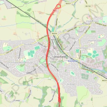
Name: RE SK350770 3 trail, distance, elevation, map, profile, GPS track
Coordinates: 53.28848 -1.48174 53.31727 -1.47472
Other hiking, mountain biking, running and outdoor activity trails
Click on a trail to view its statistics, map and profile.
Gravel ride loop from Sheffield to Hornsea and York
United Kingdom > England > Sheffield
Distance: 207.1 mi • Elevation gain: 6,024 ft • Maximum elevation: 728 ft
RE SK350770
United Kingdom > England > Derbyshire > North East Derbyshire > Dronfield
Distance: 0.9 mi • Elevation gain: 46 ft • Maximum elevation: 646 ft