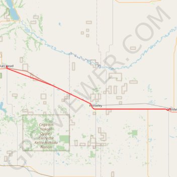
Indian Head - Grenfell
- Distance: 34.5 mi
- Elevation gain: 325 ft
- Maximum elevation: 2,001 ft
- Elevation loss: 285 ft
- Minimum elevation: 1,919 ft
Interactive trail map
Trail profile
- Distance: 34.5 mi
- Elevation gain: 325 ft
- Maximum elevation: 2,001 ft
- Elevation loss: 285 ft
- Minimum elevation: 1,919 ft
About this trail
Name: Indian Head - Grenfell trail, distance, elevation, map, profile, GPS track
End: Lake Street, Grenfell, Saskatchewan, S0G 2B0, Canada (50.41368 -102.93872)
Coordinates: 50.40812 -103.65728 50.53051 -102.93872
Other hiking, mountain biking, running and outdoor activity trails
Click on a trail to view its statistics, map and profile.
Regina - Indian Head
Canada > Saskatchewan > Regina
#Bike #Regina #IndianHead
Distance: 44.6 mi • Elevation gain: 541 ft • Maximum elevation: 2,293 ft