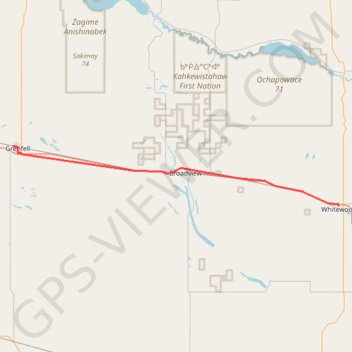
Grenfell - Whitewood
Interactive trail map
Trail profile
- Distance: 31.3 mi
- Elevation gain: 249 ft
- Maximum elevation: 2,051 ft
- Elevation loss: 240 ft
- Minimum elevation: 1,942 ft
About this trail
Name: Grenfell - Whitewood trail, distance, elevation, map, profile, GPS track
Start: Lake Street, Grenfell, Saskatchewan, S0G 2B0, Canada (50.41368 -102.93872)
End: Lalonde Street, Whitewood, Saskatchewan, S0G 5C0, Canada (50.33487 -102.26686)
Coordinates: 50.33487 -102.93872 50.41410 -102.26666
Other hiking, mountain biking, running and outdoor activity trails
Click on a trail to view its statistics, map and profile.
Indian Head - Grenfell
Canada > Saskatchewan > Indian Head No. 156 > Indian Head
Distance: 34.5 mi • Elevation gain: 325 ft • Maximum elevation: 2,001 ft