Badia Gravel/Offroad-Radfahren
- Distance: 18.0 mi
- Elevation gain: 3,356 ft
- Maximum elevation: 7,090 ft
- Elevation loss: 3,356 ft
- Minimum elevation: 4,570 ft
- Moving time: 2 h 50 m
- Moving speed: 6.3 mph
- Maximum speed: 38.6 mph
- Total time: 4 h 17 m
- Global speed: 4.2 mph
Interactive trail map
Trail profile
- Distance: 18.0 mi
- Elevation gain: 3,356 ft
- Maximum elevation: 7,090 ft
- Elevation loss: 3,356 ft
- Minimum elevation: 4,570 ft
- Moving time: 2 h 50 m
- Moving speed: 6.3 mph
- Maximum speed: 38.6 mph
- Total time: 4 h 17 m
- Global speed: 4.2 mph
About this trail
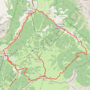
Name: Badia Gravel/Offroad-Radfahren trail, distance, elevation, map, profile, GPS track
Coordinates: 46.52984 11.87075 46.58358 11.96213