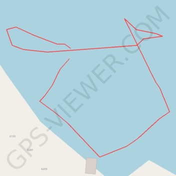
Waypoints_19-JUL-23
- Distance: 0.3 mi
- Elevation gain: 7 ft
- Maximum elevation: 256 ft
- Elevation loss: 7 ft
- Minimum elevation: 246 ft
- Moving time: 52 m 41 s
- Moving speed: 0.4 mph
- Maximum speed: 0.2 mph
- Total time: 8 h 9 m
- Global speed: 0.0 mph
Interactive trail map
Trail profile
- Distance: 0.3 mi
- Elevation gain: 7 ft
- Maximum elevation: 256 ft
- Elevation loss: 7 ft
- Minimum elevation: 246 ft
- Moving time: 52 m 41 s
- Moving speed: 0.4 mph
- Maximum speed: 0.2 mph
- Total time: 8 h 9 m
- Global speed: 0.0 mph
About this trail
Name: Waypoints_19-JUL-23 trail, distance, elevation, map, profile, GPS track
Coordinates: 44.16983 -76.24591 44.17087 -76.24420
Topography: Jefferson County topographic map, elevation, terrain
Other hiking, mountain biking, running and outdoor activity trails
Click on a trail to view its statistics, map and profile.