Black Star Canyon Falls
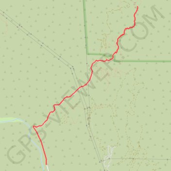
Interactive trail map
Trail profile
- Distance: 6.7 mi
- Elevation gain: 1,070 ft
- Maximum elevation: 1,765 ft
- Elevation loss: 1,070 ft
- Minimum elevation: 856 ft
About this trail
Name: Black Star Canyon Falls trail, distance, elevation, map, profile, GPS track
Start: 13463, Black Star Canyon Road, Orange County, California, 92676, United States (33.76446 -117.67811)
End: 13463, Black Star Canyon Road, Orange County, California, 92676, United States (33.76445 -117.67810)
Coordinates: 33.76445 -117.68139 33.79779 -117.65500
Topography: Orange County topographic map, elevation, terrain
Other hiking, mountain biking, running and outdoor activity trails
Click on a trail to view its statistics, map and profile.
Black Star Canyon Falls Trail in Cleveland National Forest
United States > California > Orange County
The Black Star Canyon Falls Trail in Cleveland National Forest offers an invigorating hiking experience surrounded by natural beauty. Along the trail, hikers can enjoy views of rugged canyons, diverse plant life, and the serene Black Star Creek that leads to the picturesque waterfall. The path provides a…
Distance: 7.1 mi • Elevation gain: 1,138 ft • Maximum elevation: 1,768 ft