The Subway Trail
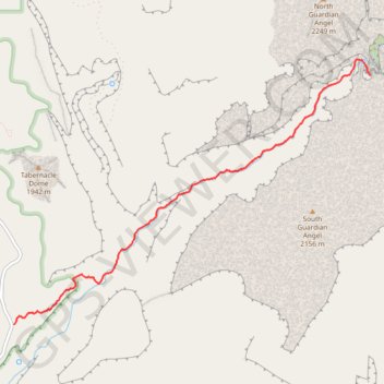
Interactive trail map
Trail profile
About this trail
Name: The Subway Trail trail, distance, elevation, map, profile, GPS track
Coordinates: 37.28470 -113.09581 37.31068 -113.05198
Topography: Washington County topographic map, elevation, terrain