Churchill loop
- Distance: 3.8 mi
- Elevation gain: 620 ft
- Maximum elevation: 735 ft
- Elevation loss: 371 ft
- Minimum elevation: 240 ft
- Moving time: 47 m 12 s
- Moving speed: 4.9 mph
- Maximum speed: 11.0 mph
- Total time: 50 m 48 s
- Global speed: 4.5 mph
Interactive trail map
Trail profile
- Distance: 3.8 mi
- Elevation gain: 620 ft
- Maximum elevation: 735 ft
- Elevation loss: 371 ft
- Minimum elevation: 240 ft
- Moving time: 47 m 12 s
- Moving speed: 4.9 mph
- Maximum speed: 11.0 mph
- Total time: 50 m 48 s
- Global speed: 4.5 mph
About this trail
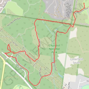
Name: Churchill loop trail, distance, elevation, map, profile, GPS track
Coordinates: -37.95694 145.25064 -37.94223 145.26873
Other hiking, mountain biking, running and outdoor activity trails
Click on a trail to view its statistics, map and profile.