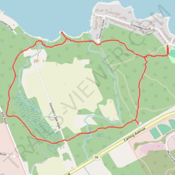
Shirleys Bay - Trail 10 Loop Walk
- Distance: 3.2 mi
- Elevation gain: 82 ft
- Maximum elevation: 223 ft
- Elevation loss: 82 ft
- Minimum elevation: 180 ft
- Moving time: 1 h 7 m
- Moving speed: 2.8 mph
- Maximum speed: 3.7 mph
- Total time: 1 h 15 m
- Global speed: 2.5 mph
Interactive trail map
Trail profile
- Distance: 3.2 mi
- Elevation gain: 82 ft
- Maximum elevation: 223 ft
- Elevation loss: 82 ft
- Minimum elevation: 180 ft
- Moving time: 1 h 7 m
- Moving speed: 2.8 mph
- Maximum speed: 3.7 mph
- Total time: 1 h 15 m
- Global speed: 2.5 mph
About this trail
Name: Shirleys Bay - Trail 10 Loop Walk trail, distance, elevation, map, profile, GPS track
Coordinates: 45.35254 -75.87706 45.36231 -75.85689
Other hiking, mountain biking, running and outdoor activity trails
Click on a trail to view its statistics, map and profile.